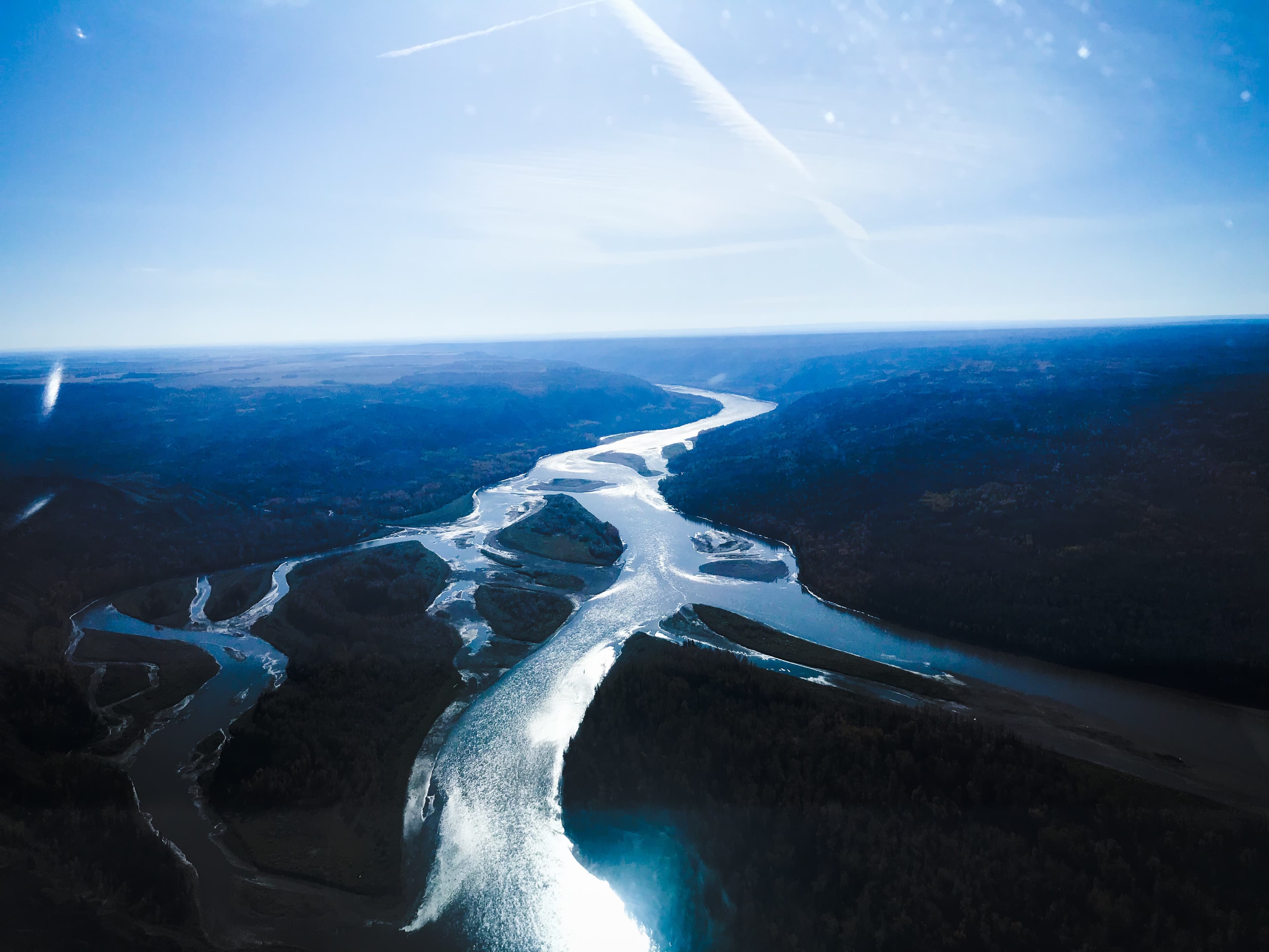
Where Balance Between Environment and Economy Starts
Integrating treaty rights and ecological intelligence into responsible development
New Website Coming Soon
Capital wants to move, but the risk is too high
The Problem
It's hard to invest millions on regulatory processes with no certainty of outcome. Projects need approval to attract investment — but need investment to afford assessments.
Investment capital is sitting on the sidelines. Energy projects require environmental approval before capital can be deployed, but environmental assessments take years and put millions to billions at risk with no certainty of approval.
The problem isn't alignment on values — it's the impossible choice between spending millions with no certainty or walking away from Canada's resource potential entirely.
The Approval Paradox
Good projects stall for years while capital moves to jurisdictions where environmental risk is already understood.
Energy Development is Essential for Prosperity
No one opposes environmental stewardship — the challenge is proving responsible development when environmental risk can't be evaluated without deploying capital first.

Here's the truth
Environmental approval is the biggest challenge to moving projects forward
The path forward exists
Genesis LLM is the first Large Land Model for ecological intelligence—like ChatGPT, but for land. Understand your regulatory risk in months, not years.
Comprehensive Ecological Data
- Billions of data points tracking 13+ ecological factors
- Migratory bird routes and species at risk data
- Caribou habitat and fish habitat mapping
- Continuous satellite imagery updates
- Province-wide coverage with treaty rights data
- Cumulative effects data at project concept
Works across all energy development:
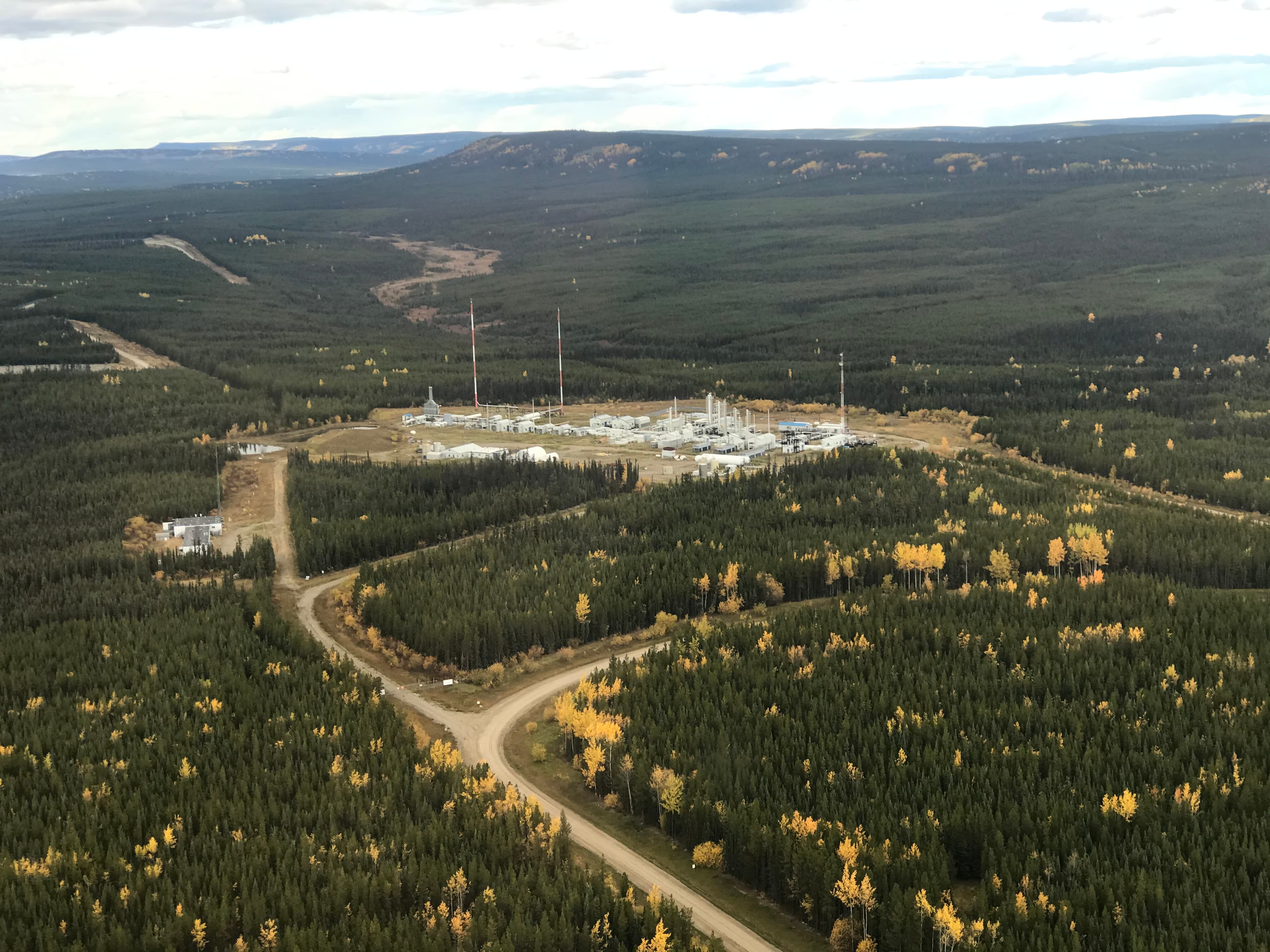
The Result?
Certainty on environmental and Treaty Rights concerns before millions in capital are deployed. Genesis LLM integrates environmental data early in the design phase, transforming your environmental impact assessment from a discovery process into a validation assessment.
Four steps to project certainty
Genesis LLM guides you from concept to approval with data-driven confidence at every stage.
Concept
Integrate environmental and treaty rights data into your initial project design—before plans are finalized.
Strategize
Identify opportunities to avoid and minimize environmental impacts while building your consultation approach with First Nations.
Engage
Proactively consult with First Nations, regulators, and stakeholders with data-backed evidence—before millions in capital are deployed.
Advance
Deploy capital with certainty—risks identified, impacts minimized, and regulatory approval de-risked.
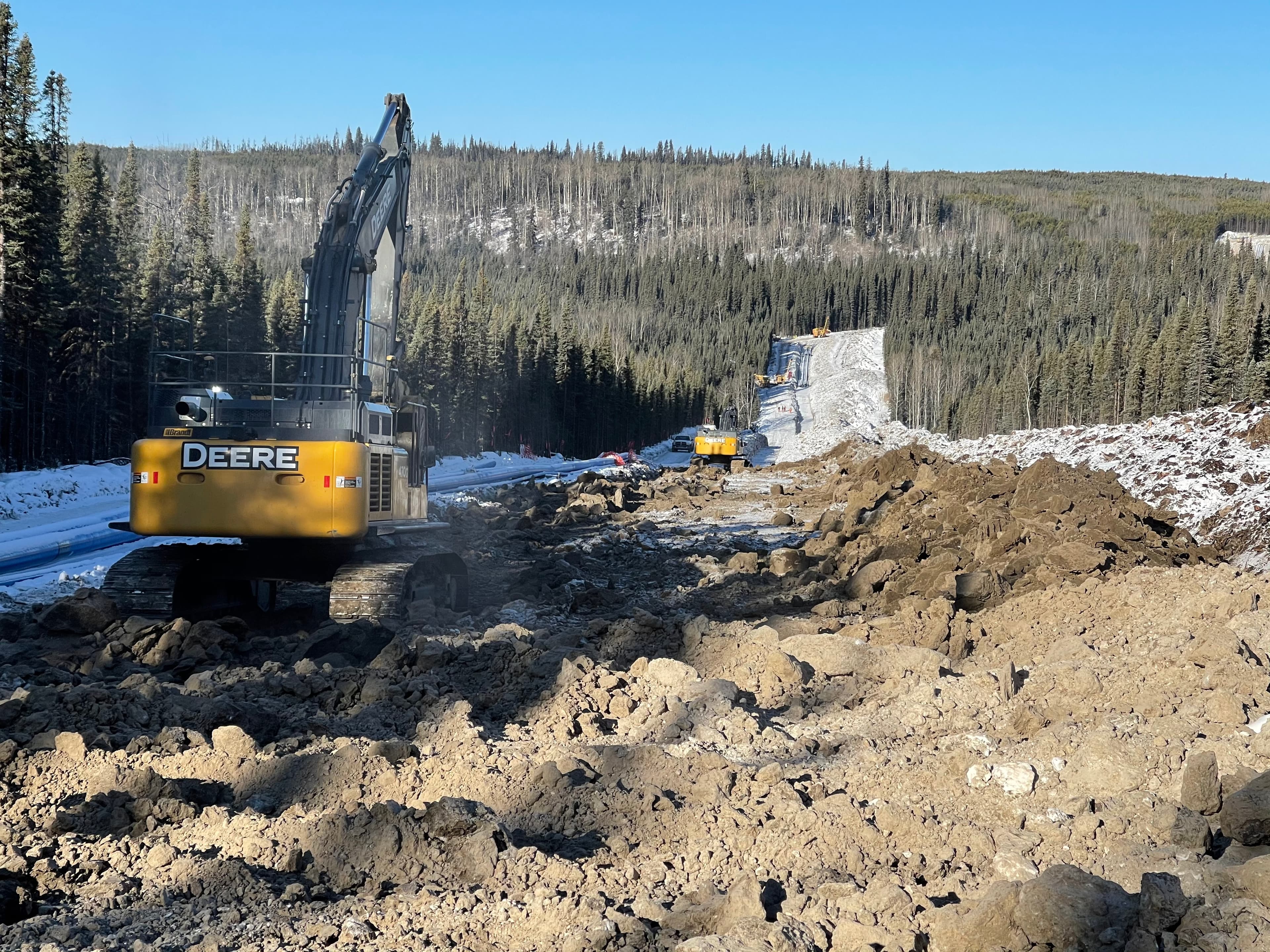

Every project needs environmental approval. We've seen what it takes to get there.
Years and millions, with no guarantee. Without data at project concept, we stand to lose:
Time
Projects stall for years while capital moves to clearer jurisdictions.
Money
Millions spent on assessments with no approval certainty.
Trust
Stakeholder trust and relationships erode due to consultation without credible data.
Balance
Companies forced to choose between economic or environmental concerns, when balance is possible.
Delay compounds the cost.
While projects wait for certainty, capital moves to jurisdictions where environmental risk is already understood.
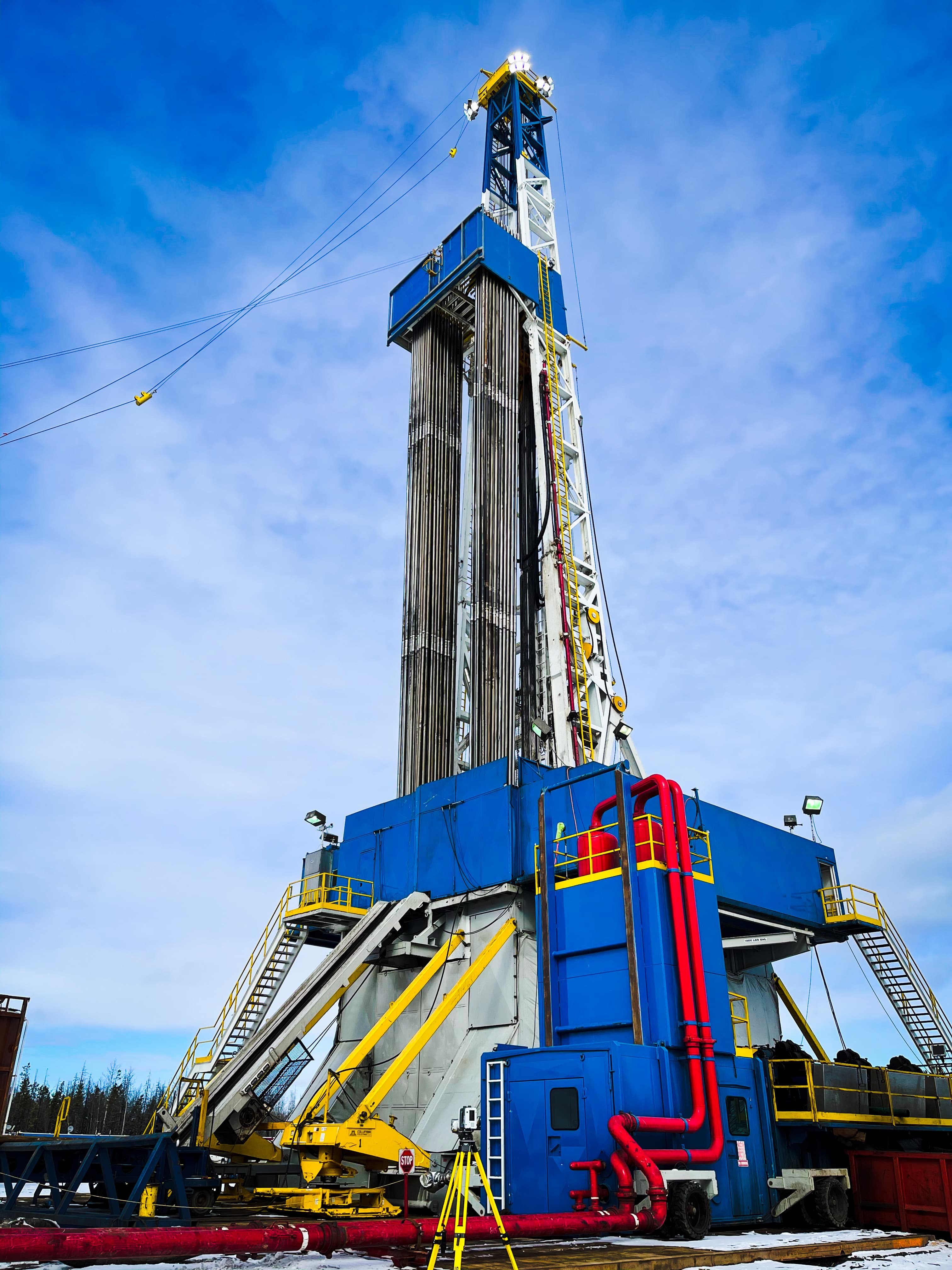
Where ecological truth meets project certainty
When professionals, regulators, proponents, and First Nations work from the same ecological truth, project certainty becomes possible—and reconciliation moves from aspiration to action.
Genesis LLM is where that story begins.
Industries that require certainty
Tailored Solutions Across Sectors
From energy production to environmental stewardship, we partner with organizations committed to responsible land management.
Oil & Gas
Asset retirement, well abandonment, and site reclamation for upstream and midstream operators.
Solar Energy
Land assessment and preparation for solar installations with environmental compliance.
Wind Energy
Site evaluation and reclamation planning for wind farm development projects.
Mining
Mine reclamation, tailings management, and long-term environmental monitoring.
Government & Regulatory
Compliance support, environmental assessments, and remediation oversight.
First Nations
Collaborative reconciliation projects that restore traditional lands and create opportunities.
Our Services
Comprehensive Solutions for Environmental Challenges
Comprehensive soil assessment, treatment, and restoration services that return contaminated land to productive use. Our proven methodologies address hydrocarbon contamination, heavy metals, and other environmental challenges while meeting regulatory standards.
End-to-end asset retirement obligation (ARO) management including well abandonment, facility decommissioning, and site reclamation. We help operators meet regulatory requirements while minimizing costs and environmental impact.
Proprietary software tools that optimize remediation workflows, track progress in real-time, and provide predictive analytics for project outcomes. Our technology increases efficiency by up to 40% while reducing operational costs.
Advanced GIS mapping and AI-powered site identification tools that pinpoint reclamation needs across your portfolio. Our software solutions provide cost certainty, risk assessment, and prioritization frameworks for major projects.
Contact
Ready to See What Certainty Looks Like?
Let's start planning. Fill out the form below and our team will connect with you.